UN
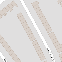
3 Camlan Road
£ 177,500
Description
We don't have a Description for this property.
- Bedrooms
- 3
- Bathrooms
- 0


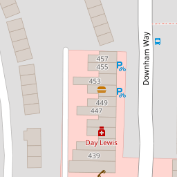

Leaflet © OpenStreetMap contributors
The heatmap indicates the level of crime in the area. The color of the heatmap indicates the crime severity and recency.
Metrics Year-on-Year
- Average area value
- 484,000.00 £Increased by 14.25 %
- Average area rental value
- 1,663.00 £/moDecreased by 15.63 %
- Est rental Yield
- 4.12 %Decreased by 26.16 %
- Crime Rate
- 17.00 %Unchanged by 0.00 %
from 423,643.00 £
from 1,971.00 £/mo
from 5.58 %
from 17.00 %
Nearby Schools
| Name | Type | Ofsted | Distance |
|---|---|---|---|
| Good Shepherd Rc School | Voluntary Aided School | Good | 0.25 KM |
| Launcelot Primary School | Community School | Good | 0.35 KM |
| Drumbeat School And Asd Service | Community Special School | Good | 0.48 KM |
| Haberdashers' Aske'S Knights Academy | Academy Sponsor Led | Good | 0.49 KM |
| Haberdashers' Aske'S Knights Temple Grove | Academy Converter | 0.65 KM |
Images
Nearby Streets
| Name | Average Price | Average Sqft | Distance |
|---|---|---|---|
| Merlinmead | £ 0 | 0 | 0.00 KM |
| Riverbank Road | £ 0 | 0 | 0.00 KM |
| Dagonet Road | £ 425,000 | 0 | 0.00 KM |
| Pontefract Road | £ 387,500 | 0 | 0.00 KM |
| Farmfield Road | £ 440,000 | 0 | 0.00 KM |
Nearby Transport
| Name | NLC | TLC | Distance |
|---|---|---|---|
| Grove Park | 5139 | GRP | 1.13 KM |
| Sundridge Park | 5155 | SUP | 1.94 KM |
| Bromley North | 5096 | BMN | 2.30 KM |
| Lee | 5110 | LEE | 2.39 KM |
| Ravensbourne | 5083 | RVB | 2.66 KM |
Nearby Listings
| Address | Price | Type | Score | Distance |
|---|---|---|---|---|
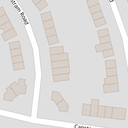
| Tristram Road, Bromley | £ 400,000 | BUY | 7 / 10 | 0.10 KM |
| Tristram Road, BROMLEY, Kent, BR1 | £ 300,000 | BUY | 6 / 10 | 0.10 KM |
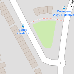
| Downham Way, Bromley, BR1 | £ 275,000 | BUY | 5 / 10 | 0.16 KM |
| Northover, Bromley, BR1 | £ 400,000 | BUY | 7 / 10 | 0.16 KM |
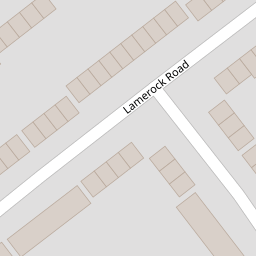
| Lamerock Road, Bromley | £ 430,000 | BUY | 7 / 10 | 0.19 KM |
Nearby Properties
| Address | Price | Distance |
|---|---|---|
| 41 Camlan Road | £ 285,000 | 0.00 KM |
| 7 Camlan Road | £ 420,000 | 0.00 KM |
| 3 Camlan Road | £ 177,500 | 0.00 KM |
| 31 Camlan Road | £ 440,000 | 0.00 KM |
| 45 Camlan Road | £ 176,000 | 0.00 KM |